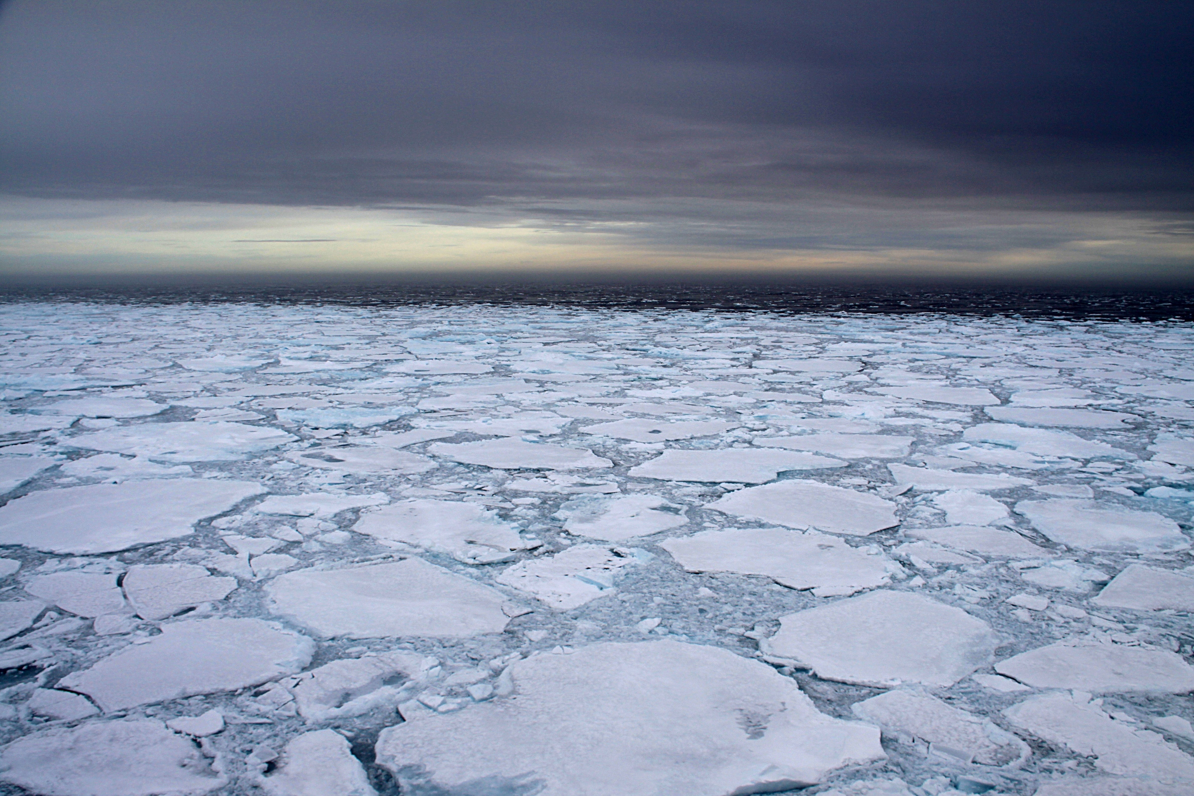
Ice cover in the Fram Strait in 2012, photo by Thomas Funck.
Various missions to measure earthquake activity in the Arctic took place this summer using German and Norwegian research vessels.
In early August researchers from the University of Bergen Institute for Geosciences (UiB-GEO) deployed broadband Ocean Bottom Seismometers (OBS) in the Fram Strait from the vessel KV Svalbard. Three OBS were prepared on board the ship, dropped to the sea floor at pre-defined locations and have already begun to monitor the Earth's movements. The deployment locations chosen were at deeper parts of the Fram Strait, close to Mid-Atlantic ridge where there is greater seismic activity.
The instrument package will remain on the sea floor for one year and recovery is planned for the summer of 2019. The recorded data will be used to analyze earthquake sources and provide better monitoring coverage for detecting smaller earthquakes. Further knowledge will also be gained on seismic hazards and temporal variation in earthquake activity that may be associated with long-term climatic changes.
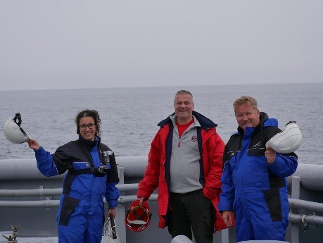
OBS personnel on board the KV Svalbaer - from left to right Zeinab Jeddi (Seismologist, UiB-GEO),
Jürgen Gossler (OBS technician, K.U.M.), and Franck Andersen (Technician, UiB-GEO)
For more info on this mission, see the UiB-GEO website.
In September, the Geological Survey of Denmark and Greenland - GEUS participated in the deployment of up to 21 Ocean Bottom Seismometers (OBS) to measure seismic activity and small earthquakes on the northeast Greenland shelf and in the Fram Strait around the Lena Trough. The expedition was on board the research vessel Polarstern and the program was headed by the German Federal Institute for Geosciences and Natural Resources and the Alfred Wegener Institute.
The ice cover in the area is potentially very high and careful adaptations of the seismic program have to be made to minimize risks to the instruments. The seismometers that were deployed will remain on the sea floor for a week to record seismic signals. The data will be used to analyze crustal structures.
The experience gained from deploying OBS instruments in High Arctic areas will improve future OBS expeditions to the region that aim to improve the monitoring coverage and thereby will allow for detecting smaller earthquakes. Thomas Funck (Geophysicis, GEUS) will represent INTAROS onboard the mission.
For more info on the mission, see the Polarstern campaign website.
You can check out all the observing sites assessed by INTAROS in this interactive map.
03 August 2018